File:  <description.htm>                                                                                                                                                                                                                   <Home>


SITE DESCRIPTION

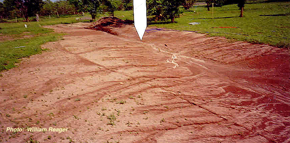
Sedgwick County, Southeastern Kansas


          The value of this site is indicated by the low energy geology of shallow sea sediment covered by loess or flood muds flowing over a very flat area where there was insufficient energy to BREAK quartz.  The U. S. Geological Survey has already established a relative date for the area adjacent to the site at a minimum of 10,000 years old but most likely older than 35,000 years and possibly 1.6 million years old due to its terraced position 170 feet above a major river.  But a definite date could not be given for the site where the artifacts were found.  The subsurface rocks at this site were known as “Rio Blanco” in early geological reports.  The site is also over one hundred miles south of the farthest advance of any of the known glaciers.  No scratches from dragging by ice have been discerned on these artifacts like those that can occur on rocks from northwestern Iowa farm fields.  Both round and angular rocks have been found together with some flakes in the same area.  The rocks appear to be located in thin patches but not in solid coverings.  Smooth split quartzite cobbles account for a small percentage of the rocks, and fossils of any type are very rare.  The large pieces of sandstone like those found at the left end of the large pile  are mostly distributed on one side but have all been badly damaged by ploughs and erosion.  About five tons of surface rocks were excavated (see <kan3-collection>).  With a water source being at least five miles away, this is probably not an area that hominids would have chosen to camp.


          This site is at the divide between two large (for Kansas) rivers on what seems to be an old riverbed that is more protected from erosion by the clay. There is more chert material North of here and higher loess dunes covering the Wellington in spots that have not eroded away. It is at the feathered edge of a flat plain and this is why the rocks have been exposed in the surrounding fields at slightly lower elevations, but not long enough to account for the total erosion. The rocks exposed by the farmer's pan breaker have a little less erosion and are sharper edged but are still too dull to cut flesh. According to the Geologists there was about 2000 feet of Wellington Formation that has been removed by erosion before the McPherson covered the area. The tools and footprint showing traces of footgear was between these formations covered either loess or flood mud.